What they publish
Recent posts 143 Profile posts 0 posts Last month 40% Members-only
Captured 10 distinct previews versus 143 public posts, with 5 rows in the latest crawl.
Image Sneak Peak of content for a forecast tomorrow! Tonight I've been playing around with GIFs in photoshop and its gone swimmingly. I should be doing a segment on Reed's Live tomorrow and I've created some fairly satisfactory animations of the upcoming severe event across the gulf coast. The first is the surface pattern overlaid with dews and MSLP while the second is bulk shear with the surface pattern and a >30% chance of CAPE exceeding 500J/kg contour.
Trying to figure out what I'm doin here! Currently its been quiet over on the Patreon side of the front and that's because I'm trying to decide what content does or doesn't belong on here. I always want my forecasts to be available to the public, it feels wrong to put that behind a paywall. Article Dec 15, 2023 Not much going on Not much going on
Nov 24, 2023
To access this whole post, join Patreon today. When you become a member, you get instant access to exclusive posts and benefits.
Join to unlock
1
1
Share
Gift access
Locked Article Nov 24, 2023 View 0 comments Sig Severe across Dixie tomorrow!
Nov 19, 2023
...
To access this whole post, join Patreon today. When you become a member, you get instant access to exclusive posts and benefits.
Join to unlock
Share
Gift access
Locked Article Nov 19, 2023 Significant Changes are Afoot! Both the operational GFS and ECMWF have quickly trended to a slower and more consolidated secondary 500mb low and jet streak on early Monday. This will likely lead to a more consolidated ejection across the South East and give more time for sufficient dews to make it northward, though it does mis-time the ejection to late at night and shifts the main target area west and into LA/AR. I'll hopefully have time to do a deeper breakdown tomorrow. Article Nov 16, 2023 Sneak Peak of content for a forecast tomorrow! Tonight I've been playing around with GIFs in photoshop and its gone swimmingly. I should be doing a segment on Reed's Live tomorrow and I've created some fairly satisfactory animations of the upcoming severe event across the gulf coast. The first is the surface pattern overlaid with dews and MSLP while the second is bulk shear with the surface pattern and a >30% chance of CAPE exceeding 500J/kg contour. Image Jan 6, 2024 Trying to figure out what I'm doin here! Currently its been quiet over on the Patreon side of the front and that's because I'm trying to decide what content does or doesn't belong on here. I always want my forecasts to be available to the public, it feels wrong to put that behind a paywall. Article Dec 15, 2023 Not much going on Not much going on
Nov 24, 2023
To access this whole post, join Patreon today. When you become a member, you get instant access to exclusive posts and benefits.
Join to unlock
1
1
Share
Gift access
Locked Article Nov 24, 2023 View 0 comments Sig Severe across Dixie tomorrow!
Nov 19, 2023
...
To access this whole post, join Patreon today. When you become a member, you get instant access to exclusive posts and benefits.
Join to unlock
Share
Gift access
Locked Article Nov 19, 2023 Significant Changes are Afoot! Both the operational GFS and ECMWF have quickly trended to a slower and more consolidated secondary 500mb low and jet streak on early Monday. This will likely lead to a more consolidated ejection across the South East and give more time for sufficient dews to make it northward, though it does mis-time the ejection to late at night and shifts the main target area west and into LA/AR. I'll hopefully have time to do a deeper breakdown tomorrow. Article Nov 16, 2023 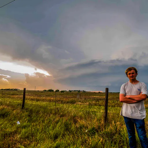
 HeemNews1Unavailable$1.39 -0 behind2
 Mandalor OneNews1Unavailable$0.79 -0 behind3
 Robert DurdenNews1Unavailable$2.6 -0 behind4
 Gothic ThingsNews1Unavailable$8.97 -0 behind